Namsan Mountain and N Seoul Tower
Plan your trip
Namsan (남산 — “South Mountain”) sits at the geographical center of Seoul, rising to 262m above the city. The mountain is forested, crossed by walking paths, and crowned by the N Seoul Tower — one of the most recognized landmarks on the Korean peninsula, visible from almost every elevated point in the city. The Seoul city wall that originally enclosed the Joseon capital ran across Namsan’s ridge; sections of the wall remain walkable.
Unlike the parks at the city’s edges, Namsan functions as a passage between neighborhoods: the north side connects to Myeongdong and Hoehyeon, the south to Itaewon and Haebangchon, the east to Dongdaemun. Walking through the mountain — rather than around it by subway — is a legitimate way to move between these areas and a significantly better experience.
N Seoul Tower (남산서울타워)
The 236m broadcast tower was built in 1969 as a communications relay; the observation deck opened to the public in 1980. Standing at 480m above sea level when measured from sea level (262m mountain + 236m tower), the observation deck provides 360-degree views over the Seoul basin.
Observatory: ¥21,000 (adult). Open daily 10am–11pm (last entry 10:30pm). The observation deck has two levels — the indoor digital telescope level and the outdoor deck. The outdoor deck view is the essential one: the Han River to the south, Bukhansan in the north, the full urban sprawl of one of the world’s largest cities surrounding the mountain.
Dining: The rotating restaurant at the tower base (N Grill) operates as a fine dining venue; reservation required. The tower also has standard restaurant and café options without the view premium.
Namsan Cable Car: A gondola from the Myeongdong side (near Chungmuro Station) to the tower base. ¥15,000 round trip, ¥12,000 one way. Operating hours roughly 10am–11pm, extended on weekends. The cable car is slow and scenic; the walk is faster and free.
Hiking and Walking Routes
Myeongdong to Tower (North Approach)
The most common route for visitors: from the cable car base station near Chungmuro Station, the walk up takes 30–40 minutes on paved paths through forest. Alternatively, from Myeongdong’s southern end, marked trails ascend the north face.
Itaewon to Tower (South Approach)
From Itaewon Station (Exit 4), a path climbs through Haebangchon neighborhood and into the forest above. The south approach is quieter than the north and passes through a neighborhood worth walking through. 30–40 minutes to the tower.
Seoul Fortress Wall Trail
The Joseon-era Seoul Fortress Wall (한양도성) that encircled the original capital ran along Namsan’s ridge. The section above the south slope is intact and walkable — 4km of the ridge section with views over both sides of the mountain and the old wall stones underfoot. The full Seoul Fortress Wall circuit (18.6km total, four mountains: Bukaksan, Inwangsan, Naksan, Namsan) is a serious day hike; the Namsan section alone is accessible and significantly shorter.
Trailhead: From the tower, marked trail signs lead to the wall section.
Botanical Garden Loop
A gentler circuit within the Namsan Park grounds — paved paths through the landscaped sections, suitable for strollers and casual walkers. Not the mountain hiking character of the ridge trails, but green and traffic-free.
Love Locks
The railing installations near the tower base are covered in padlocks — the Korean contribution to the global “love lock” phenomenon. The locks accumulate in enormous quantities; the fence sections purpose-built for them are structural at this point. Locks are sold at the tower base.
This is worth acknowledging honestly: the practice is environmentally problematic and the structures are saturated, but it’s what the majority of visitors do and the scale of accumulation is itself something to see.
Night View
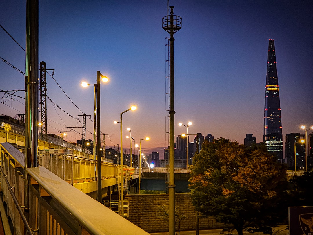
The standard recommendation for N Seoul Tower is night over day — the city’s illuminated grid, the Han River reflecting light, and the bridge lights visible on clear nights make the evening observation the better experience. The tower itself is lit from below and visible from across the city.
Best window: Arrive 30–60 minutes before sunset, watch the transition from day to illuminated city.
Getting There
Cable Car (Myeongdong side): Take Line 4 to Chungmuro Station, walk south 7 minutes to the cable car base. Most convenient option.
Bus 02 (Namsan Circular): A small circular bus runs around the mountain, stopping at the tower and at connection points to Itaewon, Myeongdong, and Dongdaemun. ¥1,200. The easiest non-walking option.
Walking from Itaewon Station: Exit 4, follow signs uphill through Haebangchon. 30–40 minutes.
Walking from Myeongdong: From the southern end of Myeongdong shopping street, marked paths ascend into the park. 30 minutes to the tower.
Practical Notes
Weather: Namsan is in a climate microzone — it’s notably cooler than the city below in summer and has more wind year-round. Layers useful even in warm months.
Visibility: On high-pollution or hazy days (common in spring due to yellow dust from China), the tower view loses significant distance. Check an air quality app before making the tower the centerpiece of a day.
Combination: The Myeongdong-side approach combines naturally with a shopping circuit of Myeongdong or a visit to the Namsan Hanok Village (traditional Korean house complex) at the mountain’s eastern base. The Itaewon-side approach pairs with the Itaewon neighborhood itself.
Namsan Hanok Village (남산골 한옥마을): Five reconstructed traditional Korean houses at the base of Namsan’s east side, relocated and restored to show different periods of hanok architecture. Free entry. Cultural performances on weekends. Easy 10-minute walk from Chungmuro Station.
Plan your trip