South Greenland: Norse Ruins, Fjords & the Uninhabited South
Plan your trip
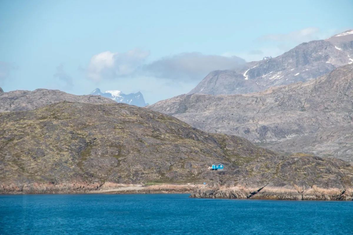
South Greenland is the part of the island that looks most like somewhere else — rolling green hills in summer, sheep farms, birch scrub, and the most approachable hiking terrain in the country. It is also where Greenland’s Viking history is most visible: Erik the Red established his settlement at Brattahlid (now Qassiarsuk) around 985 CE, and the ruins of Norse farms, churches, and the episcopal seat at Gardar are scattered across the fjord landscape between Narsarsuaq and Qaqortoq.
The region is accessed via Narsarsuaq, where an international airport (built by the US military in WWII, still using the same single runway) receives Air Greenland flights from Copenhagen and Reykjavik. From Narsarsuaq, boat and ferry connections reach Qaqortoq, Narsaq, Igaliku, and Qassiarsuk.
What to See
Hvalsey Church
The best-preserved Norse ruin in Greenland — a roofless stone church in a fjord-side meadow near Qaqortoq. The last recorded event in Norse Greenland took place here: a wedding in 1408, documented in an Icelandic letter, after which Norse Greenland disappears from the written record entirely. The church’s walls stand 2 meters high; the setting, with the fjord behind and mountains above, is one of the most evocative historical sites in the North Atlantic. Accessible by boat from Qaqortoq (45 minutes).
Brattahlid (Qassiarsuk)
Erik the Red’s farm, now the village of Qassiarsuk. A reconstructed Norse longhouse and the original footprint of Tjodhilde’s Church (the first Christian church in the Americas, built around 1000 CE) are open to visitors. The reconstructed church is small to the point of surprising — approximately 3 meters by 5 meters, with room for perhaps 20 people. Accessible by boat from Narsarsuaq (10 minutes across the fjord).
Gardar (Igaliku)
The episcopal see of Norse Greenland — where the Bishop of Gardar was based. The ruins include a cathedral, bishop’s residence, and farm buildings across an area of roughly 2 hectares. An Inuit farming community (sheep) now occupies the site alongside the ruins. Reached by boat from Narsarsuaq via Narsaq.
Narsarsuaq Botanical Garden and Icecap Views
A small but notable botanical garden with over 400 arctic and subarctic plant species, established in 1953. More significantly: the trail from Narsarsuaq to the inland ice (2 hours one way) leads to a viewpoint over the Greenland ice sheet — one of the most accessible points where visitors can approach the edge of the world’s second-largest ice body. No equipment required for the trail.
Qaqortoq
South Greenland’s largest town (population ~3,000) — a colorful Greenlandic town with the best food options and hotels in the region. The Stone & Man outdoor sculpture project has placed works by Greenlandic and international artists across the town’s rocks and outcrops, making it an unusual open-air gallery. The harbor and fish factory are active working infrastructure, not decorative.
The “Glacier Express” Boat Route
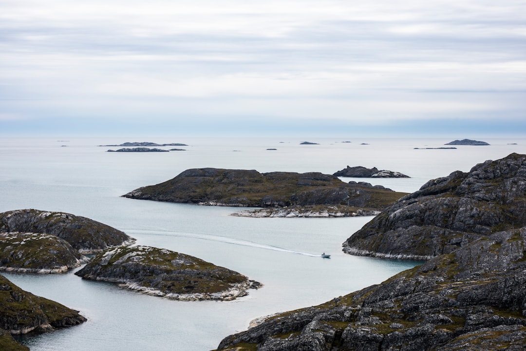
The Blue Ice Explorer passenger ferry connects the key fjord communities: Narsarsuaq — Narsaq — Qaqortoq — Igaliku, with smaller stops. The route passes through fjord scenery comparable to Patagonia at a fraction of the visitor density. Journey times range from 45 minutes to 3 hours depending on route. Schedules are seasonal (June–September) and weather-dependent; book through World of Greenland or directly with the operator.
The Inland Ice Trail
The hut-to-hut trail between Narsarsuaq and Narsaq crosses a remote highland plateau with views of the ice cap edge, deep fjords, and the Norse farm ruins at Sissarluttoq. The full route takes 2–4 days; huts are run by the South Greenland Tourism board and require pre-booking. This is a moderately demanding route — long days, boggy terrain in places, navigation required — but achievable for fit hikers with appropriate gear.
Getting Around
South Greenland has no roads between communities — all inter-settlement travel is by boat, helicopter, or on foot. The region’s small scale makes this manageable:
- Narsarsuaq is the hub: airport, boat connections, accommodation
- Narsaq (45 minutes by boat): town with services, starting point for some hikes
- Qaqortoq (2.5 hours by fast boat): the regional capital and best base
- Igaliku/Gardar (accessible from both Narsaq and Narsarsuaq by boat)
- Qassiarsuk/Brattahlid (10 minutes from Narsarsuaq)
When to Go
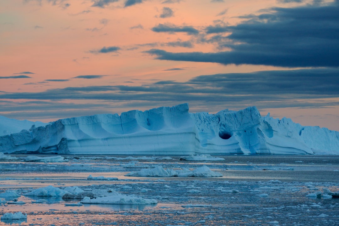
June–September: The accessible window — boats run, trails are open, 20+ hours of daylight. July is warmest (average 10–14°C); September brings autumn colour and fewer visitors. August is the sweet spot: reliable weather, full boat schedules, bergs calving in the fjords.
South Greenland does not operate year-round tourism at the community level. Outside June–September, infrastructure is reduced and many tours don’t run.
Plan your trip