Dolomites Hiking Guide: Best Trails, Via Ferrata & the Alta Via Routes
Plan your trip
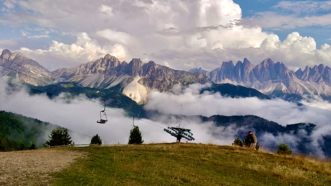
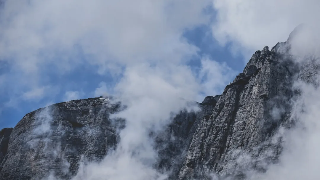
The Dolomites — the UNESCO World Heritage mountain range of northeastern Italy — offer a hiking experience fundamentally different from the Alps. The rock is pale limestone that turns pink and gold at dawn and dusk (the enrosadira, or “rose of the Dolomites”); the vertical walls rise almost directly from relatively flat valleys; and the network of mountain huts (rifugi) enables multi-day hiking without tents, luggage transportation services, and traditional Tyrolean meals at altitude.
The range is accessible from Cortina d’Ampezzo, Bolzano/Bozen, Ortisei, and dozens of smaller villages.
Day Hikes: The Icons
Tre Cime di Lavaredo Circuit
Difficulty: Easy-Moderate | Duration: 3.5–4 hours | Start: Auronzo Refuge (road accessible, toll required)
The most photographed mountains in the Dolomites — three vertical rock towers (2,999m) rising from a plateau in the northern Dolomites, accessible by road to the Rifugio Auronzo (2,320m). From here, a circuit trail (roughly 10 km) circles the towers at close range, passing the north face (most dramatic), the Locatelli refuge (with the classic postcard view), and the south face.
The approach road (from Misurina) is tolled and crowded in summer. Drive before 8 AM or after 6 PM to avoid the worst congestion. Alternatively, park at Misurina and add 45 minutes walking each way.
Lago di Sorapis
Difficulty: Moderate | Duration: 3–3.5 hours round trip | Start: Passo Tre Croci (from Cortina)**
The most intensely colored lake in the Dolomites — a teal-green alpine lake beneath the Sorapis massif, the color produced by glacial rock flour suspended in the water. The trail from Passo Tre Croci involves some exposed sections on narrow ledges (a rope is attached to the rock for the one technical section); otherwise manageable for fit hikers. The view of the lake on arrival, appearing suddenly at the bottom of a cliff, is genuinely spectacular.
Cinque Torri
Difficulty: Easy | Duration: 1–1.5 hours | Start: Rifugio Cinque Torri (accessible by gondola from Bai de Dones near Cortina)**
Five isolated rock towers rising from a meadow plateau — a short walk from the gondola arrival. The World War I open-air museum here (artillery positions and trenches preserved in the original state, Austria-Hungary vs. Italy, the mountain war of 1915–1918) adds historical dimension. Excellent for families and as a warm-up hike.
Alpe di Siusi (Seiser Alm)
Difficulty: Easy-Moderate | Duration: Varies | Start: Compatsch (accessible by gondola from Ortisei/Kastelruth)**
The largest high-altitude alpine meadow in Europe (56 km²) at 1,800–2,100m elevation — rolling grassland with the Schlern/Sciliar mountain massif rising behind it. Numerous trail options from 30-minute walks to full-day loops. The morning light on the Sassolungo and Langkofel towers behind the meadow is the definitive Dolomites pastoral image.
Multi-Day Routes
Alta Via 1 (High Route 1)
Duration: 8–12 days | Distance: ~120 km | Difficulty: Strenuous**
The original Dolomite long-distance trail — running south to north from Lago di Braies to Belluno, passing through the northern Dolomites via the Tofane, the Lagazuoi, and the Pelmo massifs. Rifugio-to-rifugio: no camping required; accommodation at mountain huts along the entire route. Some sections involve via ferrata (fixed rope/rung assistance).
Lago di Braies: The starting lake is one of the most beautiful in the Dolomites — an impossibly green lake with a wooden boat dock and the vertical rock walls of the Croda del Becco rising behind it. Popular enough in summer to require early-morning visits.
Via Ferrata (Iron Road)
Via ferrata routes use fixed iron pegs, rungs, and steel cable to assist ascent of otherwise-technical terrain — the system was originally developed during WWI for troop movements on vertical rock faces. Now a distinctive Italian mountain sport.
Equipment required: Via ferrata kit (harness + two shock-absorbing lanyards + helmet). Rental available at outdoor shops in Cortina and most resort villages. Guides available for those new to the system.
Good introductory routes from Cortina:
- Ferrata Giuseppe Olivieri (Pomagagnon, above Cortina): 2.5 hours, moderate, excellent views over the Cortina basin
- Ferrata Ra Bujela (Cinque Torri area): Short and accessible, good for first-timers
The Rifugi System
Mountain huts (rifugi) are the infrastructure that makes Dolomite hiking what it is — staffed facilities at 1,800–3,000m elevation providing accommodation (dormitory or private rooms), hot meals, and the specific culture of alpine hospitality.
What to expect: A dorm bed (sometimes 4–8 per room) + dinner + breakfast: €60–90. Private rooms: €100–180. Meals served at set times (dinner at 7 PM, breakfast at 7 AM). Wine and beer available. Standard menu: pasta, polenta, goulash, Tyrolean dishes.
Booking: Essential for weekends and July–August. Book directly by phone or via rifugi booking platforms. Cancellation policies vary but most are flexible with notice.
Practical Notes
Season: June–October for hiking (snow on high routes until mid-June). Via ferrata: July–September. Winter skiing: December–April.
Transport: No public transport to most Dolomite trailheads. Car rental (from Venice, Verona, or Bolzano) essential. The Dolomiti Bus connects some valley points in summer.
Maps: Tabacco 1:25,000 hiking maps — the gold standard for the Dolomites. Available at outdoor shops in Cortina, Bolzano, and major resort villages.
Weather: Mountain weather changes rapidly. Start early (before 2 PM to avoid afternoon thunderstorms, which are common July–August). Carry a jacket regardless of the morning forecast.
Plan your trip