Hunza Valley Guide: Pakistan's Most Spectacular Mountain Road
Plan your trip
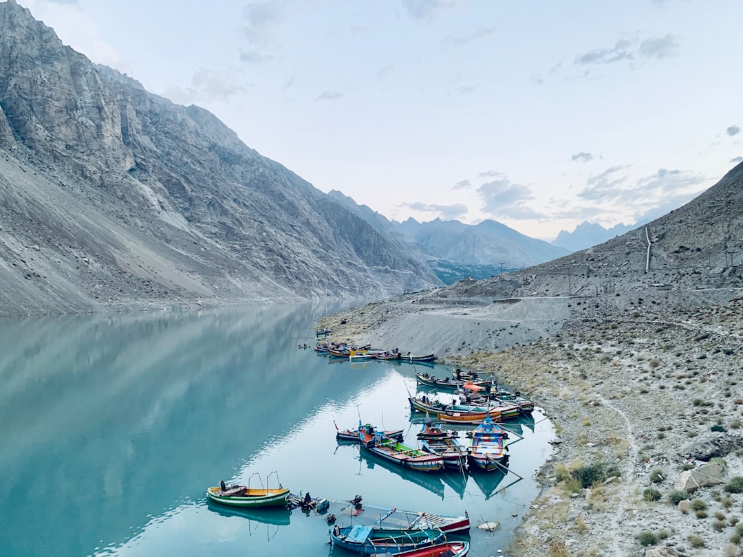
The Hunza Valley is the reason most adventure travelers go to Pakistan. A narrow mountain valley at 2,400 meters elevation in the Karakoram range, flanked by some of the highest peaks on earth — Rakaposhi (7,788m), Ultar Sar (7,388m), and the view of Ladyfinger Peak rising directly above the main town. The Karakoram Highway, carved through the mountains along the ancient Silk Road route, runs through the valley on its way to the Chinese border at Khunjerab Pass.
Hunza is culturally distinct from the rest of Pakistan — the Ismaili Muslim community (following the Aga Khan) has historically supported women’s education and relatively progressive social norms. The local language is Burushaski (unrelated to any other language family). The apricot orchards that blanket the terraced hillsides in spring blossom pink-white in one of the most spectacular seasonal displays in Asia.
When to Visit
Blossom season (late March – early April): The most photographed time — apricot, cherry, and almond orchards in full bloom against the backdrop of snow-covered peaks. The exact timing varies by year and elevation; follow local social media or contact guesthouses for current bloom status. Accommodation fills quickly; book at least a month in advance.
Summer (May–September): The main hiking and trekking season. June–August are warmest (15–25°C in Karimabad). Some high-altitude routes are only accessible July–August. Monsoon influences are minimal in Hunza (the Karakoram range lies in the rain shadow).
Autumn (October–November): The terraced fields turn gold and red; fruit harvest season. Often the best combination of comfortable temperatures and visual drama.
Winter (December–February): Some guesthouses close. The road to Khunjerab Pass closes. But the valley itself is accessible and stunning in snow, with far fewer visitors.
Getting to Hunza
The Karakoram Highway (KKH): Completed in 1978 after 20 years of construction by Pakistani and Chinese engineers, the KKH runs 1,300 km from Hasan Abdal (near Rawalpindi) to the Chinese border at Khunjerab Pass. It follows the Indus, Hunza, and Gojal rivers through some of the most geologically dramatic terrain on earth.
By air to Gilgit: Gilgit is the regional hub — flights from Islamabad (PIA, 1 hour) when weather allows. Mountain flying conditions mean flights are frequently delayed or cancelled; always have a backup day. Alternatively, NATCO buses and private cars from Islamabad to Gilgit (14–18 hours, mountain road).
Gilgit to Hunza: 2–2.5 hours by private vehicle or shared jeep (100 km on the KKH). Karimabad is the main settlement; Aliabad (slightly lower) is the commercial center.
Karimabad and the Forts
Karimabad is the main tourist hub of Hunza — a village on a terrace above the valley with guest houses, restaurants, and the two major historical sites.
Baltit Fort
The former seat of the Mirs (rulers) of Hunza, perched 300m above Karimabad. Built over 700 years with reconstructions in the Balti style (Tibetan architectural influence), the fort was inhabited by the Mir of Hunza until 1945 and restored by the Aga Khan Trust for Culture in the 1990s. Views from the ramparts: the Hunza Valley below, Ultar glacier descending from Ultar Sar above, and on clear days a view of the Rakaposhi massif to the southwest.
Entry: ~PKR 500. Guided tours available.
Altit Fort
Older than Baltit (estimated 900+ years), more dramatically positioned on a cliff above the Hunza River. The village of Altit below the fort is one of the best-preserved traditional Hunza settlements — stone houses, ancient trees, and a women’s weaving cooperative producing traditional Hunza textiles.
Rakaposhi Base Camp Trek
Difficulty: Moderate | Duration: 2 days | Starting point: Minapin village (30 minutes from Karimabad)
The most accessible glacier viewpoint in Hunza — a trail ascending through scrub forest and alpine meadow to a base camp position with direct views of Rakaposhi (7,788m) and the Minapin Glacier. The mountain’s south face rises 5,800 meters from the valley floor in one of the greatest vertical rises of any mountain on earth.
Day 1: Minapin → Tagafari alpine camp (4–5 hours). Day 2: Tagafari → viewpoint → descent (5–6 hours).
Guesthouses in Minapin organize guides, porters, and basic accommodation at the camp.
Eagle’s Nest Viewpoint
A 4WD track (jeep rental from Karimabad, ~PKR 2,000 return) climbs to 3,100m above Duiker village — the most panoramic viewpoint accessible without trekking. On clear mornings: Rakaposhi, Diran, Ultar Sar, and the full Hunza Valley visible simultaneously. Sunrise from Eagle’s Nest, with the peaks catching the first light while the valley below is in shadow, is among the finest mountain photographs available in Pakistan.
Practical Notes
Currency: Pakistani Rupee (PKR). ATMs exist in Aliabad; Karimabad’s ATM network is less reliable — carry cash from Gilgit or Islamabad.
Accommodation: Guesthouses range from very basic (PKR 1,000–2,000/night, shared bathroom) to mid-range hotels (PKR 5,000–10,000). The Hunza Serena Inn and Eagle’s Nest Hotel are the most comfortable established options. Most guesthouses include dinner and breakfast.
Safety: The KKH passes through politically stable territory. Foreign tourists require a No Objection Certificate (NOC) from the Pakistani government for certain trekking areas; consult your embassy or a local operator for current requirements.
Best local guide agency for Hunza: Karakoram Explorers, Mountain Monarch Adventures, or guesthouses in Karimabad can arrange guides, porters, and vehicle hire.
Plan your trip