Lake Titicaca: The World's Highest Navigable Lake
Plan your trip
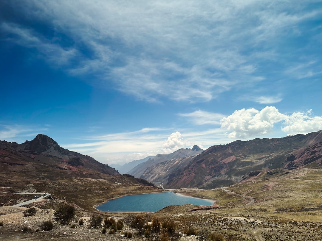
Lake Titicaca sits at 3,812 m on the altiplano border between Peru and Bolivia — the world’s highest navigable lake, covering 8,372 km², with a depth reaching 284 m. The lake is of such scale that it moderates the climate of the surrounding altiplano, making agriculture possible at an altitude where it would otherwise be impossible. It was considered the birthplace of the sun and the origin point of the Inca Empire in the Andean cosmological tradition — the Inca creation story places the emergence of the first Inca (Manco Cápac) from the waters of Titicaca.
The lake is 5–6 hours from Cusco by bus, making it a 2-night extension from the Cusco circuit.
Puno
The main city on the Peruvian shore (population 130,000, 3,827 m altitude) — the gateway to lake tourism and the self-described “Folkloric Capital of Peru.” The city itself is not an attraction; it is a function — transport hub, accommodation base, and boat departure point.
Puno Bay: The port area 5 km from the city center from which boats depart for the islands. The boats are basic but functional; the boatmen are typically affiliated with specific island communities.
Candelaria Festival (February): The most important folkloric festival in South America (UNESCO Intangible Cultural Heritage) — 2 weeks of processions, dancing, and ritual in Puno, centered on February 2. 40,000 dancers, 150 dance troupes, and 800 musicians performing marinera, diablada, and the dances specific to Puno’s Aymara and Quechua traditions. The most intense week is around February 2–6.
The Uros Floating Islands
3 km from Puno harbor — approximately 80 artificial islands made from totora reeds (the aquatic plant that grows throughout the lake), inhabited by the Uros people who have lived on the lake since before Inca times. The islands are continuously maintained and rebuilt as the lower reeds decompose.
What it is: A genuine community (approximately 2,000 Uros people live on the islands) that has adapted a pre-Columbian reed-island technology to the modern tourism economy. The visit — arriving by boat, walking on the spongy reed surface, seeing the reed houses and reed boats — is interesting, but the tourism has become so formalized that the interaction can feel transactional.
How to visit better: Stay overnight on one of the larger islands (arranged through community cooperatives; S/50–80/night including dinner and breakfast) rather than doing the 1-hour day visit. The morning after an overnight, after the day-visit boats have left, is entirely different.
Isla Taquile
45 km from Puno (2.5 hours by slow boat) — a 7 km² island with a community of 2,000 Quechua-speaking people who have maintained a tradition of hand-weaving that is UNESCO-listed as Intangible Cultural Heritage. The island has no cars, no hotels (only family guesthouses), and a functioning communal governance system (the community assembly manages tourism access collectively).
The weaving tradition: Taquile men weave — hats, belts, and bags on small hand looms. Women spin and knit. The hats worn by Taquile men communicate social status: married/unmarried, community position, and age in the hat’s color and weave pattern. The textiles sold at the cooperative market on the island are produced by the community and priced collectively.
Practicalities: The 200-step staircase from the dock to the main village at 3,950 m requires acclimatization. Boats from Puno: S/20–30 for the slow boat (budget time for a 2.5-hour crossing each way). Entry fee S/5.
Isla Amantaní
The most remote accessible island — 4 hours from Puno, further from the tourist circuit than Taquile. The island’s highest point (4,150 m) has two pre-Inca temples to Pachamama (earth mother) and Pachatata (earth father). Overnight homestays (S/40–60 including all meals) are the primary tourism format — the community carefully manages visitor numbers.
The experience: Waking before dawn for the temples’ sunrise view of the lake and surrounding altiplano. The homestay format connects visitors with Aymara-speaking families in a way that the floating island visits don’t.
The Bolivian Shore
Lake Titicaca is divided between Peru and Bolivia; the Bolivian side (Copacabana, Isla del Sol, Isla de la Luna) has its own mythology — Isla del Sol is the Inca creation site, and the Tiwanaku ruins (pre-Inca, 600 CE, near La Paz) are the most important pre-Columbian site in Bolivia. Crossing by bus from Puno to Copacabana takes 3.5 hours with a border crossing.
Practical Notes
- Getting to Puno: Bus from Cusco (6 hours, S/20–40 with Cruz del Sur or Inka Express) or the Andean Explorer luxury train (12 hours, $300–500)
- Altitude: 3,812 m — one of the highest accommodation points for most visitors. Acclimatize thoroughly in Cusco before arriving
- Tour operators: The Uros and Taquile visit is best organized through community-affiliated operators rather than hotel-packaged tours. Ask specifically whether the fees go to the communities
Plan your trip