Réunion Hiking Guide: The Three Cirques, GR R1/R2 & Piton de la Fournaise
Plan your trip
Réunion is a volcanic island in the Indian Ocean — a French overseas département 800 km east of Madagascar — and it contains one of the most dramatic hiking landscapes available anywhere in the world. Three spectacular caldera cirques (Mafate, Cilaos, and Salazie) cut into the volcanic interior; an active volcano (Piton de la Fournaise, one of the most active on earth) rises at the island’s eastern end; and two long-distance trails (GR R1 and GR R2) traverse the entire island through terrain that ranges from subtropical forest to moon-like lava fields.
For hikers, Réunion is in the tier of destinations you return to.
The Three Cirques
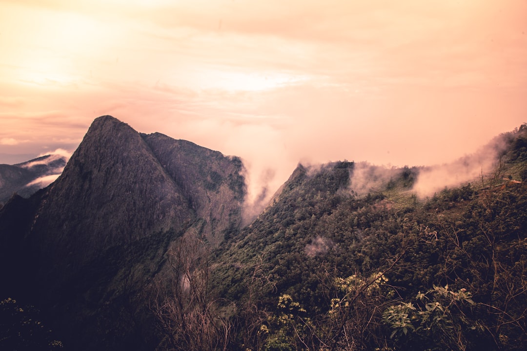
Three ancient calderas form the heart of Réunion’s interior — walled by vertical basalt cliffs up to 1,500m, with villages accessible only on foot (Mafate has no road access at all), waterfalls, and a permanent cooler climate that supports agriculture impossible on the coastal plain.
Cirque de Mafate — The Isolated Cirque
Access: No road enters Mafate. Access only on foot (from Cilaos via the Brèche du Mafate, from Dos d’Âne on the west, or from Roche Plate via Col des Bœufs from Plaine des Palmistes). Helicopter access for medical emergencies and resupply.
Mafate’s settlements — Marla, La Nouvelle, Ilet à Malheur, Grand Place — are inhabited by descendants of escaped slaves (marrons) who settled in the inaccessible interior in the 18th century. The villages have gîtes (basic mountain accommodation) and the inhabitants grow vegetables for sale to passing hikers.
Best route into Mafate: Col des Bœufs (via Dos d’Âne, 1 hour drive from Saint-Denis + 1.5 hour walk to the pass) → La Nouvelle (the main village, 2–3 hours from the Col). La Nouvelle has several gîtes, a small school, and a church with no road within 4 hours of walking.
Multi-day circuit: 3–4 days, staying in gîtes at La Nouvelle, Grand Place, and Ilet à Malheur. Book gîtes in advance (the gîtes de montagne system, reservable via the Espace Randonnée in Saint-Denis or directly by phone).
Cirque de Cilaos — Wine, Lentils & Hot Springs
Access: By road (2 hours from Saint-Denis on the island’s most winding mountain road, 400+ hairpin bends). Or on foot from the coast.
Cilaos is the most accessible cirque for casual visitors — a village of 5,000 with hot springs (Thermes de Cilaos), restaurants, and the production of Réunion’s unique lentilles de Cilaos (tiny, nutty mountain lentils) and a small amount of wine (vin de Cilaos — the only wine produced in France’s Indian Ocean territories).
Piton des Neiges from Cilaos: The highest peak in the Indian Ocean (3,070m) is climbed most commonly from Cilaos. The standard route: Cilaos → Caverne Dufour (mountain hut, night 1, book in advance) → summit pre-dawn → descent back to Cilaos. Total: 2 days, 20+ km, 2,200m elevation gain. Physical fitness essential; no technical equipment required.
Cirque de Salazie — Waterfalls & Lush Valley
Access: By road (1.5 hours from Saint-Denis). The most verdant of the three cirques — the wettest, most forested, with the most dramatic waterfalls.
Voile de la Mariée (Bridal Veil Falls): A series of waterfalls visible from the road into the cirque, cascading 300m down the caldera wall. The most photographed image in Salazie.
Hell-Bourg: The most picturesque village in Réunion — Creole colonial houses with ornate iron verandas, surrounded by forest, classified as one of France’s Plus Beaux Villages (Most Beautiful Villages).
Piton de la Fournaise (The Volcano)
2,632m elevation | One of the world’s most active volcanoes
Réunion’s active volcano erupts on average every 9 months — small, non-explosive eruptions that produce lava flows down the eastern slopes and into the sea. The volcano is generally not dangerous to approach (the eruptions are Hawaiian-style effusive lava rather than explosive) but the approach routes are managed by the national park (Parc National de La Réunion) and closed during active eruptions.
The hike to the caldera rim (Pas de Bellecombe): The Plaine des Sables road (accessible from the Plaine des Cafres) leads to the Pas de Bellecombe viewpoint at 2,311m — the edge of the Enclos Fouqué caldera. The volcano is visible across the caldera floor. The descent into the Enclos (when open) is a 2-hour round trip across recent lava — black, red, and silver surface, the smell of sulfur, the geologically raw landscape.
Seeing an eruption: The OVPF (Volcano Observatory of Piton de la Fournaise) provides eruption forecasts and real-time updates at fournaise.univ-reunion.fr. When an eruption is in progress, night views from the Plaine des Cafres show the orange glow on the horizon. Helicopter tours (multiple operators) fly over active eruptions — one of the most accessible active volcano experiences anywhere.
The GR R1 and GR R2
GR R1: Circumnavigation of Piton des Neiges — a 5–6 day circuit through all three cirques and the central massif. 110 km, approximately 8,000m total elevation gain. The definitive Réunion long-distance trail; most hikers go clockwise (Cilaos → Mafate → Salazie → Cilaos).
GR R2: Cross-island trail from Saint-Denis (north) to Saint-Philippe (south), passing through Cilaos, over the Piton des Neiges massif, and across the Plaine des Palmistes to the volcanic south. 7–8 days, 180 km.
Gîte booking: All gîtes along the GR routes require advance booking — essential in July–August and school holiday periods. Contact the Maison de la Montagne et de la Mer (Saint-Denis) for a full list of accredited gîtes and reservations.
Practical Notes
Best season: April–October (dry season, clearest skies, best trail conditions). November–March brings heavy rains on the windward (east) side and the risk of cyclones.
Trail grades: Réunion’s trails use a French difficulty scale (easy/moderate/difficult/expert). Many popular circuits are in the “difficult” category — sustained steep terrain, sometimes exposed. Fitness level matters more than technical skill for most routes.
What to bring: Trekking poles (the descents are steep), waterproof jacket (weather changes rapidly), at least 2L water capacity (fountains at gîtes but not always on trail), sunscreen (altitude + Indian Ocean UV intensity).
Maps: IGN 1:25,000 maps of Réunion are available at the Maison de la Montagne in Saint-Denis. Download Organic Maps or use the GR R1/R2 track on Komoot/Wikiloc.
Plan your trip